

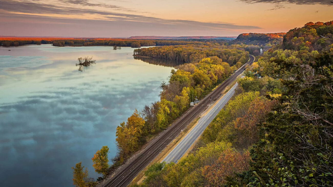
The Great River Road traces the Mississippi from Minnesota’s headwaters to the Louisiana Gulf coast through 10 states.
Spot the sign — white background, green pilot-wheel emblem — and a journey clicks into focus. The Great River Road links bluff country, blues towns, Civil War battlefields, and Indigenous earthworks into something that functions less like a highway and more like a living archive. Stretching roughly 3,000 miles along the Mississippi River corridor from northern Minnesota to the Gulf of Mexico, the route holds federal designation as both an All-American Road and a National Scenic Byway. It rewards patience far more than speed.
Plan the Drive in Sections, Not Miles
Breaking the journey into manageable segments unlocks the route’s real value — and keeps the experience from becoming a blur of highway miles.
The Federal Highway Administration recommends allowing six days to drive the entire byway or 10 days to enjoy it. That gap matters. The Great River Road is not one continuous highway but a network of federal, state, and county roads marked by the pilot-wheel emblem. State-specific maps, confirmed ferry schedules, and verified seasonal hours are essential before departure. Treat it as a choose-your-own itinerary, not a race between endpoints.
Three broad sections are worth anchoring your planning around:
- Upper Mississippi (Minnesota/Wisconsin): The route begins at Itasca State Park, where the river is narrow enough to walk across, then moves south past eagle-viewing opportunities at Wabasha’s National Eagle Center.
- Middle Mississippi (Iowa/Illinois): Iowa’s 328-mile segment alone delivers limestone bluffs, working riverfronts, and Effigy Mounds National Monument, according to the Iowa Department of Transportation’s official byway guide. Galena, Illinois, follows with a preserved 19th-century streetscape and walkable Main Street.
- Lower Mississippi (Missouri through Louisiana): Hannibal, Missouri, anchors Mark Twain country; Clarksdale, Mississippi, centers a Delta blues journey through the Delta Blues Museum; Vicksburg and Natchez layer Civil War and antebellum history against broad river views; Louisiana closes the route with Creole cooking near the Gulf.
Seasons shift the experience considerably:
- Spring is well suited to hiking and cycling along the bluffs.
- Summer brings festivals and waterfront dining with extended operating hours.
- Fall adds striking color to the bluff country.
- Winter can limit access in the northern states, while bald-eagle viewing — particularly in the Upper Mississippi around Wabasha — tends to be strong during colder months.
Where to Eat Along the River
Food along the Great River Road is not a sidebar — it is how the river’s history shows up on a plate.
Every few hundred miles, the culinary identity shifts as sharply as the landscape. Wisconsin supper clubs and regional cheese give way to St. Louis toasted ravioli and gooey butter cake — specialties rooted in the city’s layered immigrant past. Delta catfish and Southern cooking in Mississippi connect travelers to the land and its agricultural history. Then Louisiana arrives: Creole and Cajun traditions shaped by French, African, and additional cultural lineages, with seafood that carries the full weight of the river upstream.
Breweries, farmers’ markets, and family-owned diners appear throughout the route. Hours in smaller river towns shift with the seasons, so calling ahead is advisable anywhere along the byway — not just in the south. As the research notes, restaurant schedules and menus can change, and individual establishments should be verified directly before booking.
No fixed itinerary required. Pick a section — the Illinois bluffs, the Delta, the Twin Cities waterfront — and go deep. The pilot-wheel sign keeps you oriented. The river will handle the rest.