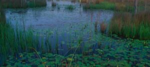


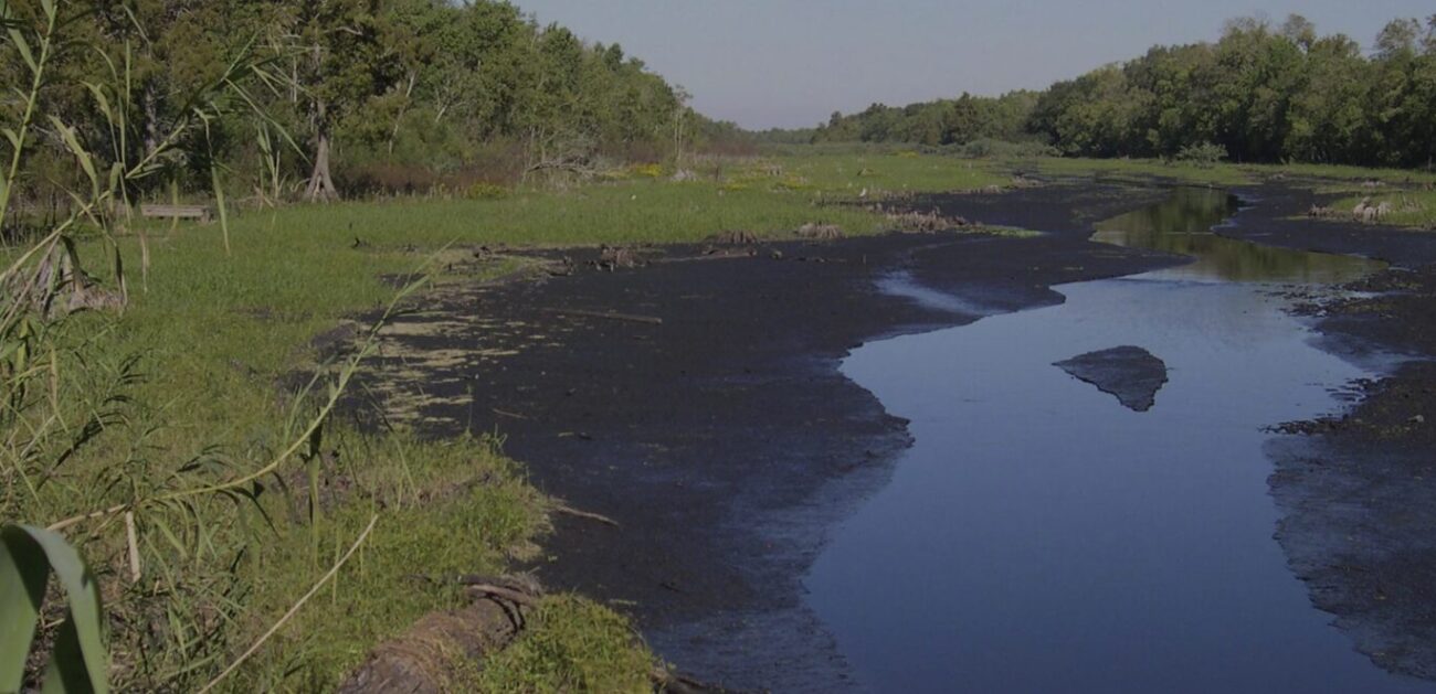
Bayou Sauvage Urban National Wildlife Refuge covers 27,190 acres of marsh, and every one of them sits inside the city limits of New Orleans.
The refuge fills the eastern end of the city between Lake Pontchartrain and Lake Borgne, holding some of the last marsh left in that stretch. Congress established it in 1990 on land that developers had spent decades planning to turn into a master-planned suburb. Most of it sits behind the hurricane protection levees built to shield east New Orleans from storm surge, which is part of why the refuge reads as both wild and engineered at the same time. Federal officials added a 2,500-acre tract at Little Pine Island in recent years, pushing the total closer to 30,000 acres.
Anyone planning a visit needs to know that the Ridge Trail and its boardwalk closed on March 2, 2026 while crews build a replacement. Fish and Wildlife Service staff say the new structure will improve accessibility and hold up better over time. That trail was the most popular access point on the refuge, a half-mile interpretive loop through hardwood forest with a marsh overlook, restrooms, and a picnic pavilion. No reopening date has been announced, so check the refuge page before driving out.
Plenty is still open. Visitors can walk the refuge roads and levees, including the levee behind the gate at the end of Crabbing Bridge Road, which runs out toward Lake Pontchartrain. The Joe Madere Marsh site off Chef Menteur Highway has a picnic pavilion and its own short boardwalk to a marsh overlook, and it stays a reliable spot for shorebirds, waterfowl, and alligators. The canoe launch there has silted in over the years, so paddling from that access point usually is not possible.
Birding is the reason most people come. The marshes and waterways support more than 340 bird species across the year, and the refuge sits directly on the Mississippi Flyway. Wading bird rookeries fill in during spring, waterfowl pack the impoundments through winter, and songbirds drop into the hardwood ridges during migration. The refuge is part of the Urban Bird Treaty Program and is managed specifically to build up migratory, shore, and wading bird populations.
Fishing and crabbing draw a steady local crowd too. The freshwater lagoons, bayous, and lakes hold largemouth bass, crappie, bluegill, catfish, and crawfish, while the marshes along both lakes work as estuarine nurseries for fish and blue crab. Alligators are common along the waterways year-round. Feeding them is prohibited and dangerous, and refuge signage is blunt about it.
The forest along the ridges tells a Katrina story. Saltwater and wind killed off much of the mixed hardwood stand in 2005, and local schoolchildren and volunteers have been replanting native trees and Louisiana iris there every year since. Interpretive signs along the boardwalk route explain the work, and they will go back up when the new structure opens.
Practical notes matter more here than at most parks. There is no entrance fee, and the refuge is open seven days a week during daylight hours. Shade is scarce, mosquitoes are serious most of the year, and there are no trash cans, so bring water, repellent, sunscreen, and a bag for whatever you pack in. Areas outside the hurricane protection levee carry seasonal access restrictions tied to waterfowl hunting, and the current public use brochure on the FWS site spells out the dates.
Getting there takes about 20 minutes from downtown. From New Orleans, take I-10 east to exit 246A, head south on I-510 for roughly two miles, then turn left onto Highway 90 and follow it east.
Go at sunrise, when the birds are up and the heat has not arrived yet.