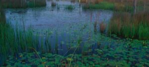


The Barataria Preserve sits 17 miles south of downtown New Orleans and protects more than 26,000 acres of bayous, cypress swamp, hardwood forest, and marsh. Paddling is the way to see the parts a boardwalk cannot reach, and no registration is required. The waterways stay open at all hours.
One thing to settle before loading a boat. Hurricane Ida damaged the trail system in 2021, and phased construction began February 2, 2026. The visitor center and every trail except Twin Canals closed for work expected to run two years. Rangers relocated to the Lafitte Barataria Museum and Wetland Trace, about six miles away, open Wednesdays and Thursdays from 10 a.m. to 2 p.m. That changes which routes are practical this season.
1. Twin Canals to Upper Kenta Canal
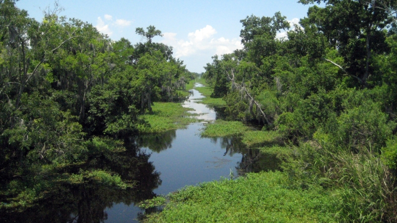
This is the route to paddle right now. The Twin Canals parking lot, trail, and canoe launch all remain open through construction, making it the only in-park access point with confirmed availability. A gravel platform handles the launch, and the area doubles as a popular fishing spot.
Twin Canals runs narrow and shallow at the start. Follow it out to Upper Kenta Canal, where the water widens and forested wetlands line both banks. Alligators are common here in every size, along with egrets, herons, and kingfishers. Motorized craft including electric trolling motors are prohibited on Twin Canals, so the water stays quiet.
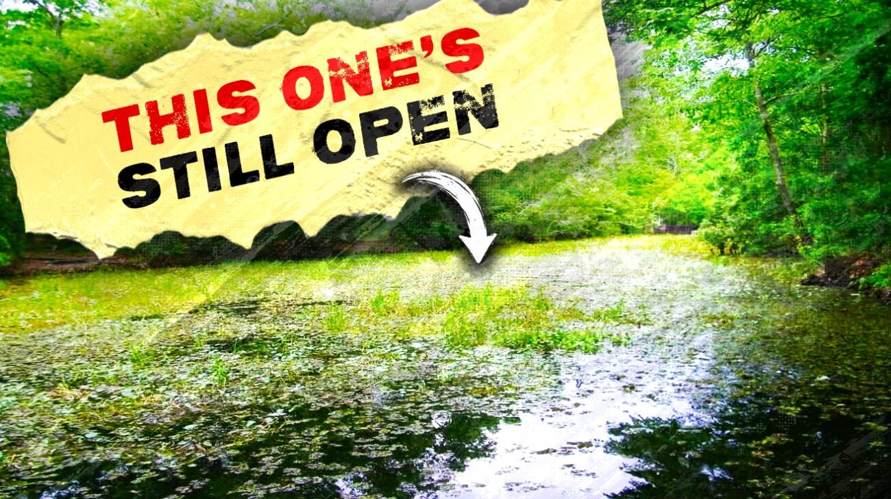
A caution from experienced paddlers: rangers sometimes recommend heading south down Upper Kenta, and water hyacinth can choke that stretch to the point of being impassable. Ask about current conditions before committing to a direction.
2. Bayou Coquille to the Kenta Cut
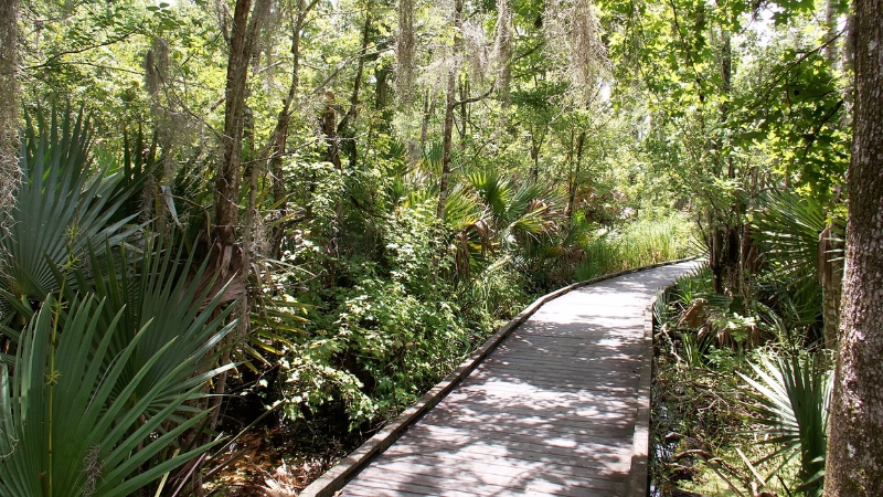
This route carries the best history in the preserve, though access is complicated at the moment. Bayou Coquille Trail is closed for construction, which eliminates the walk-in approach. Paddlers reaching it by water can still run it.
Water tupelo and bald cypress shade the bayou. Along the route sit the stumps of enormous cypress trees, left behind by the logging companies that stripped this swamp generations ago. Anyone repeating the old-growth claim about Barataria has the story inverted. What survives is regrowth around the evidence of what was taken.
Paddling toward Kenta Canal means a sharp left into noticeably deeper water. That channel is a logging cut, dug so companies could float timber out of the swamp. The natural outlet of the bayou continues straight ahead, which makes the turn a small lesson in how much of this landscape people rearranged.
3. Lower Kenta Canal from Bayou Barataria
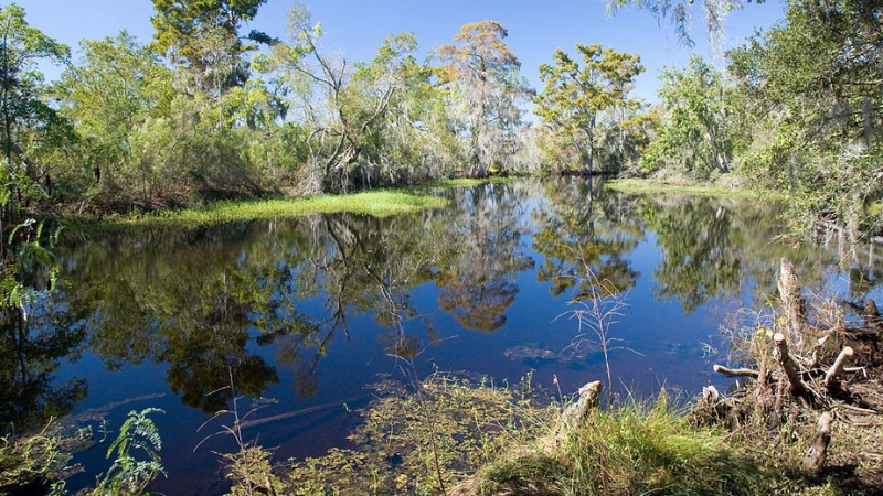
Lower Kenta empties into Bayou Barataria, part of the Intracoastal Waterway, with a canoe launch about fifty yards in from the bayou. Locals call it Priest Canal after the Catholic church nearby.
The name Kenta came from a woman who established a sugar cane plantation here with her family in the mid to late 1800s. The canal moved goods and drained the fields. Ditches dug for that drainage are still visible near the launch, boarded up now.
4. Bayou Barataria to Kenta Canal from outside the park
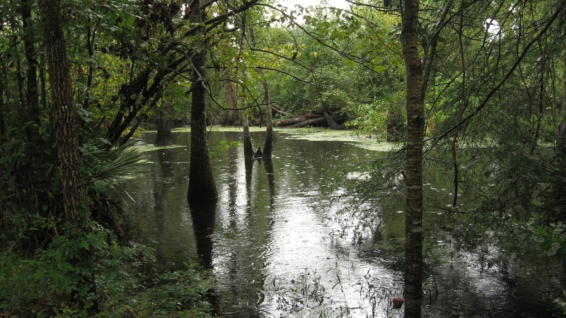
Swamp Explorers rents kayaks and canoes from a launch just outside the preserve entrance, roughly 30 minutes south of New Orleans. Their self-guided route starts on Bayou Barataria among the fishing communities of Lafitte, Barataria, and Crown Point, then turns into Kenta Canal toward the heart of the park. Rentals run four hours.
This is the simplest option for anyone without a boat, and it sidesteps the closed park facilities entirely. The company also builds custom trips for small groups.
Before any of these, tell somebody your expected return time. Low water and heavy vegetation can close a waterway with no warning, and the park phone is (504) 589-3882.