

The Mississippi runs warm relative to the winter air for much of the cold season, and on the right late autumn or winter morning that temperature gap throws a dense advection fog across the water that the levee walks lining the river catch first. These three stretches each offer a different angle on the same phenomenon.
Moonwalk Promenade
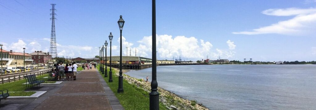
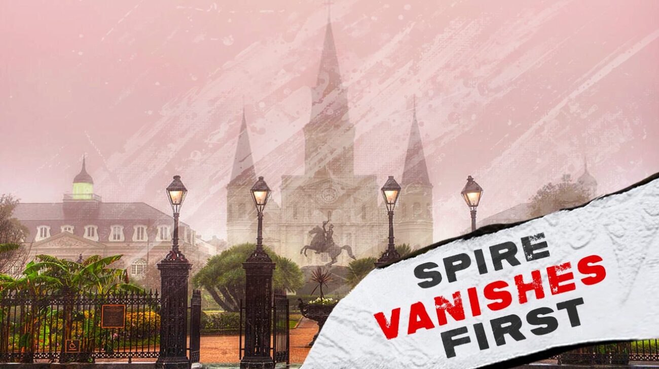
The Moonwalk runs nearly 3,500 feet along the riverfront between the Governor Nicholls Street Wharf and the Aquarium of the Americas, built in 1976 and named for Mayor Maurice “Moon” Landrieu, whose administration reconnected the French Quarter to a riverfront that decades of industrial development had cut off. The promenade sits directly across from Jackson Square, accessible via Washington Artillery Park, putting a fog-watcher within a few hundred feet of the cathedral spires the mist eventually swallows.
On a heavy fog morning, the brown river disappears first, then the far bank, then the spires of St. Louis Cathedral lose their detail one section at a time until only the rough outline remains visible above the white. The promenade’s iron benches and red brick paving stay damp and cold underfoot well into the morning, and the foghorn from any ship working upriver carries across the water with nothing to block it.
The Moonwalk runs along the riverfront between St. Philip Street and the Aquarium of the Americas, accessible from multiple Quarter cross streets including St. Peter, Toulouse, and St. Louis.
Algiers Point Ferry Landing Levee
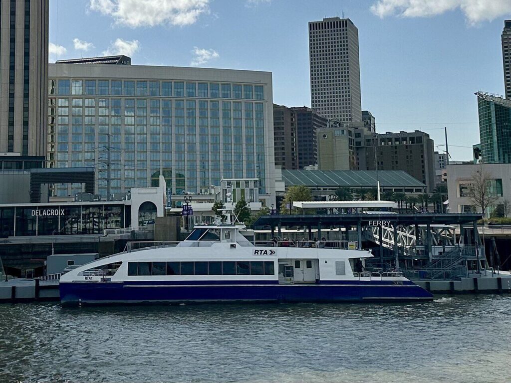
The Canal Street ferry crosses to Algiers Point in about six minutes, and the levee on the Algiers side puts a different angle on the same fog, looking back across the river at a skyline that disappears section by section as the mist thickens. This stretch carries less foot traffic than the Moonwalk, which means a dawn fog watch here tends to happen in near silence, broken only by the occasional foghorn and the slap of water against the bank.
The view from this side captures the full curve of the river that gives New Orleans its Crescent City nickname, and on a clear morning the layout is obvious. In heavy fog, that curve becomes guesswork, with downtown towers and the French Quarter spires reduced to faint smears of grey rather than recognizable shapes.
The levee at Algiers Point sits a short walk from the ferry landing, accessible along the riverfront near the historic district.
Holy Cross Levee
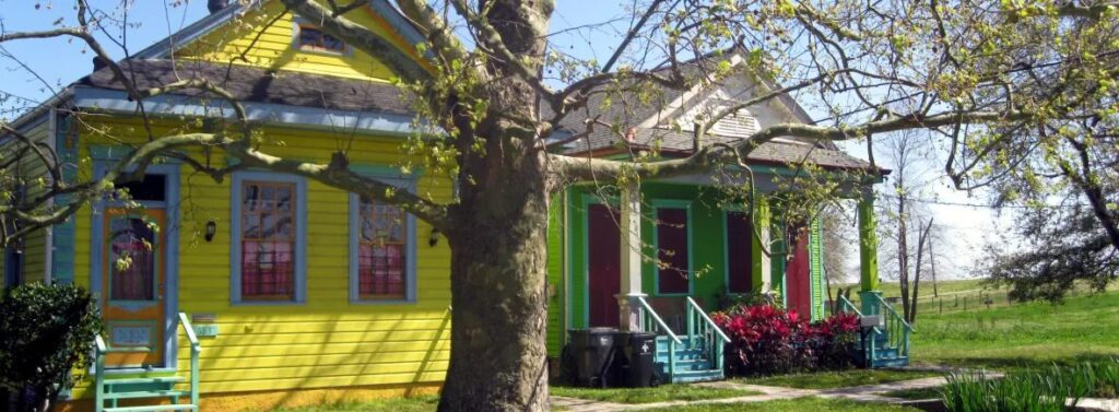
The Holy Cross neighborhood occupies the highest ground in the Lower Ninth Ward, close enough to the river that residents walk the levee regularly for the view back toward downtown, the French Quarter, and the Crescent City Connection Bridge. This stretch sits further from the city center than the other two, which means the fog here tends to roll in thicker and linger longer before the morning sun has a chance to burn it off.
Fishermen work the bank here year-round, and on a foggy morning their lines disappear into the mist a few feet past the rod tip, the river itself rendered invisible except for the sound of water moving past. The bridge, when visible at all on a heavy fog day, appears only as a faint grey line suspended above nothing, the river and the far bank both erased until the fog finally lifts.
The Holy Cross levee runs along the riverfront in the Lower Ninth Ward, accessible from streets including Jourdan Avenue and Delery Street.