

Highway 46 runs east out of New Orleans and eventually stops, and the last thirty miles of it pass through some of the most exposed land in Louisiana.
1. Shell Beach and the Katrina Memorial
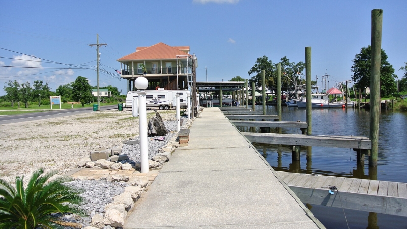
Shell Beach sits about 30 miles southeast of the city on the Mississippi River Gulf Outlet near Lake Borgne, at an elevation of three feet. It is not a beach. There is a boat launch, a fishing area, and a memorial, and all of it sits within a short walk of where the pavement ends.
The memorial comes in two parts. A stainless steel cross designed by Arabi welder Vincent LaBruzzo Sr. stands a few feet offshore in the water. On land in front of it, a marble slab carries the names of the 163 St. Bernard residents who died in Hurricane Katrina.
The cross drew a legal objection in 2006. The Louisiana ACLU’s executive director wrote parish officials arguing that a religious symbol on a public waterway violated the First Amendment, and the parish president answered with an obscenity and left the cross standing. The parish had lost more than it could measure by then. Its population fell from 67,000 in 2000 to 36,000 in 2010.
2. Fort Proctor, offshore in Lake Borgne
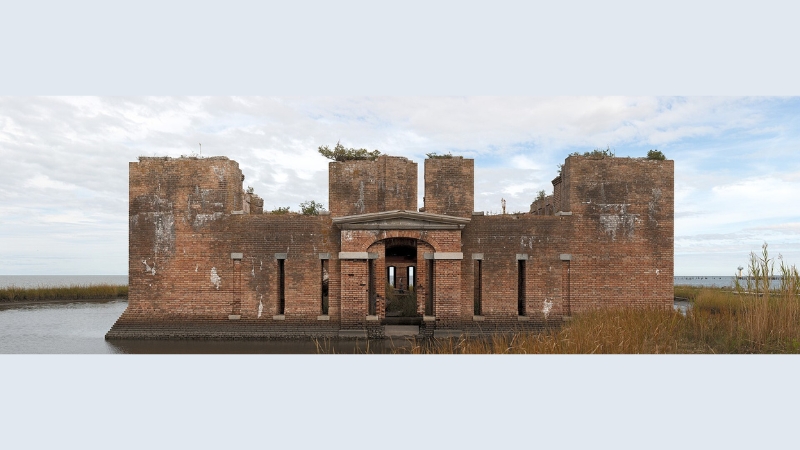
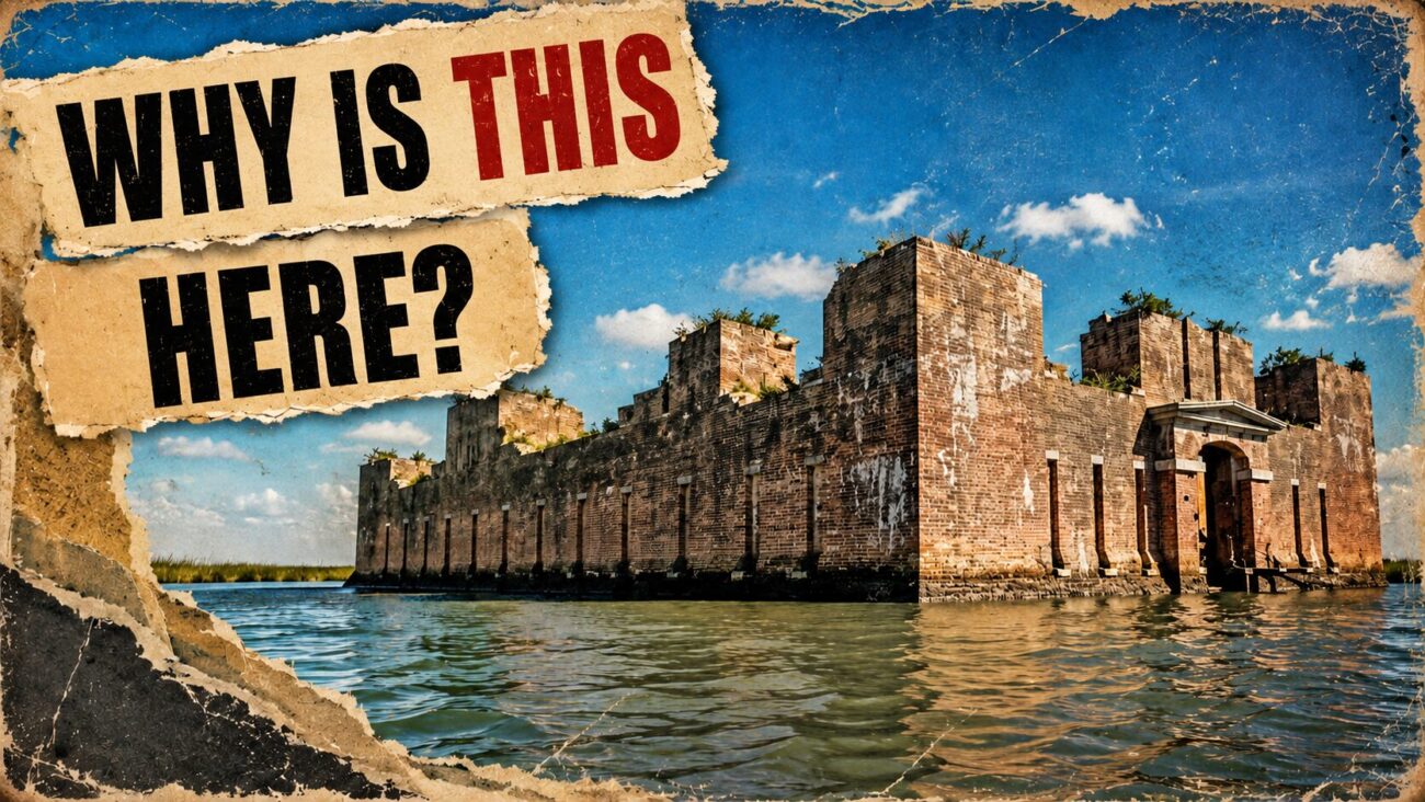
A ruined brick fort sits in the water north of the mouth of Bayou Yscloskey, visible from Shell Beach across the MRGO. Construction ran from 1856 to 1859 under P.G.T. Beauregard working with architect Joseph Totten, and the fort carries three names locally: Fort Proctor, Fort Beauregard, and Beauregard’s Castle.
It never worked. Hurricane damage stopped construction before completion, the planned armament of more than thirty guns and howitzers never arrived, and no garrison ever occupied it. Confederate soldiers blew the nearby levees during the war, water rushed in, and the structure was finished as a defensive position before it had begun. It joined the National Register of Historic Places in 1978.
Land access is gone. Erosion and the MRGO cut the fort off, and it now stands roughly 230 feet from shore. Viewers at Shell Beach can see it, though binoculars help. Fishing charters out of Shell Beach and Delacroix run trips, and kayakers cross the MRGO and paddle through Bayou Yscloskey to reach it, which means crossing an open channel with real chop and current.
3. Delacroix Island, the End of the World
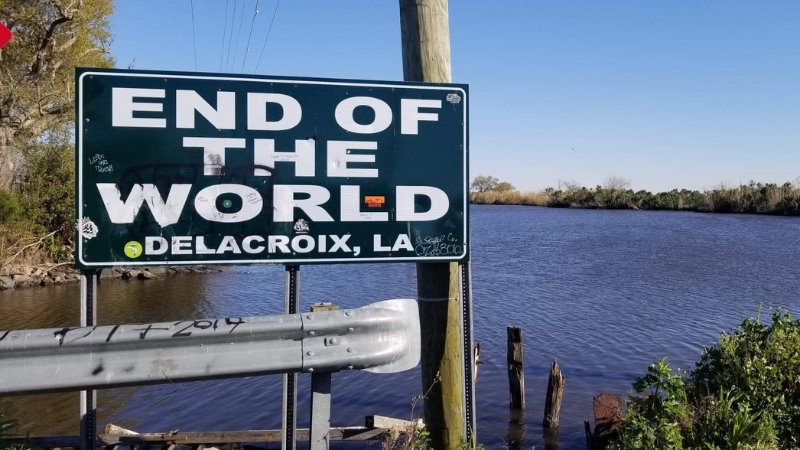
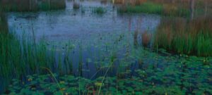
Route 300 branches south off Highway 46 and dead-ends at a marina locals call the End of the World. The welcome sign reads Delacroix Island, established 1782, and the name is another misnomer. It is high ground surrounded by wetland rather than an island, though it was reachable only by boat until a road went in during the 1930s.
The ride out has become an event. Tour Da Parish has run for years, drawing more than 400 cyclists on a 65-mile round trip from New Orleans, with shorter routes for a range of abilities. Riders finish at the Los Isleños Heritage Site, which marks the Canary Islanders who settled this parish in the 1700s. The road carries traffic but has a wide shoulder most of the way, and some sections are closed to cars.
Anyone driving instead of riding should know the parish runs on informal geography. There are no incorporated communities here, so a restaurant in what the map calls Violet may print Chalmette on the menu and use a Meraux mailing address. Fuel and supplies thin out fast past Chalmette, so top off before turning east.