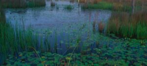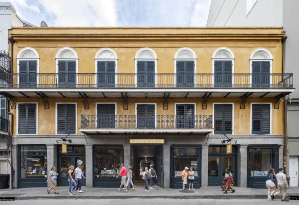


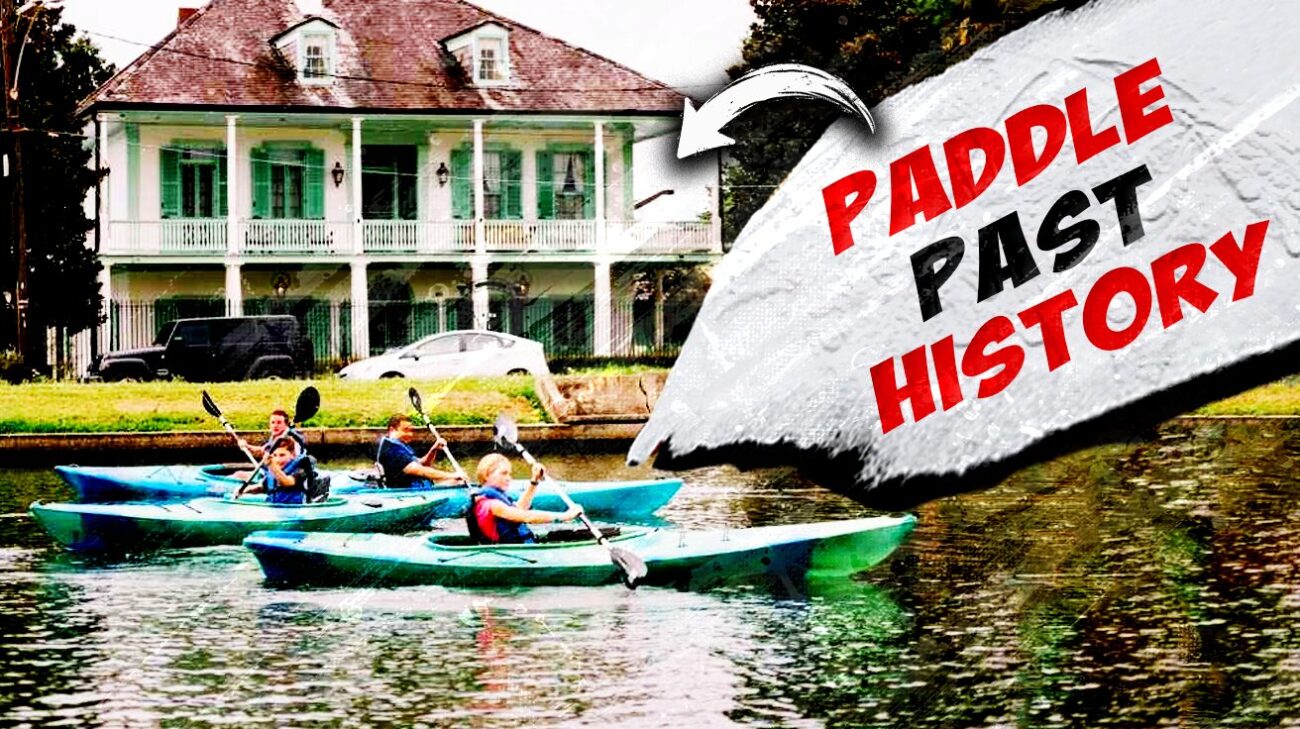
Bayou St. John runs about four miles from Lake Pontchartrain down through Mid-City, and it stays calm enough most days that a first-time paddler and a regular can share the same stretch of water without either one noticing a difference in skill level. These four points cover the route from north to south.
Moss Street Launch Point

The stretch of Moss Street where it curves into Florida Avenue, just south of I-610 and across from the LSU School of Dentistry, has been the bayou’s busiest informal launch for years. The grass field next to the water gives easy access for carrying a kayak down, and the concrete bank slopes gently enough that loading and unloading rarely requires getting more than ankle-deep. Bayou Paddlesports operated a rental dock here for years, but the business permanently closed in December 2024 during the Desaix bridge replacement project and has not returned, so paddlers now need their own gear or a rental from one of the outfitters farther down Moss Street.
The water from this point north toward the lake runs more exposed to wind, which makes it a better stretch for a workout than a lazy float. South toward Mid-City, the bayou narrows and calms, running past residential backyards and under a series of low bridges that test a paddler’s ducking reflexes more than their arm strength.
Park along Moss Street near the Florida Avenue curve, or check current access conditions at the Bayou Paddlesports Facebook page before heading out, since the closure has changed how the launch area gets used.
Pitot House Overlook
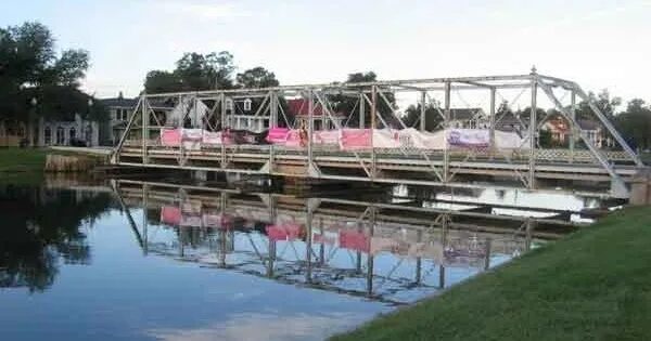
The stretch of bayou running past the Pitot House at 1440 Moss Street puts paddlers directly alongside one of the last surviving French colonial country homes in New Orleans. The house dates to the 1700s and sits close enough to the water that the view from a kayak is arguably better than the view from the street. This is one of the most photographed stretches of the entire route, and the light through the cypress canopy in the late afternoon makes it worth timing a paddle specifically to pass through here before sunset.
The water here runs calm and shallow, well within the comfort range of a beginner, and the historic homes lining both banks make this segment feel more like a moving architecture tour than a wilderness paddle. Turtles sun themselves on partially submerged logs along this stretch often enough that spotting one barely counts as a sighting anymore.
Access this stretch from the Moss Street launch point heading south, or from additional informal access points along Wisner Boulevard north of Esplanade Avenue.
Dumaine Street Bridge
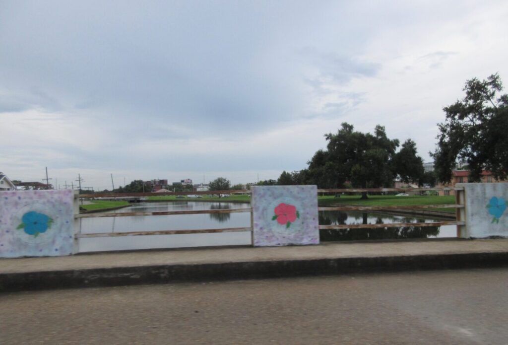
The Dumaine Street Bridge marks one end of the most consistently recommended stretch of the entire bayou, running between the Orleans Avenue Bridge and the Robert E. Lee Bridge through the heart of City Park’s eastern edge. The bridges along this run sit low enough to require ducking in a kayak, which keeps larger motorized boats out entirely and leaves the water nearly silent except for paddle strokes and birdsong.
City Park dominates the western bank through this stretch, giving paddlers a long run of green space, moss-draped oaks, and the occasional view into the park’s walking trails from water level. Kayak-Iti-Yat runs guided tours launching from this general area, and their meeting point across from the Shell station at Esplanade and Moss Street doubles as an informal public access point for paddlers with their own gear.
Reach this stretch from the foot of Esplanade Avenue at Moss Street, directly across from City Park’s main entrance.
Lelong Drive Access
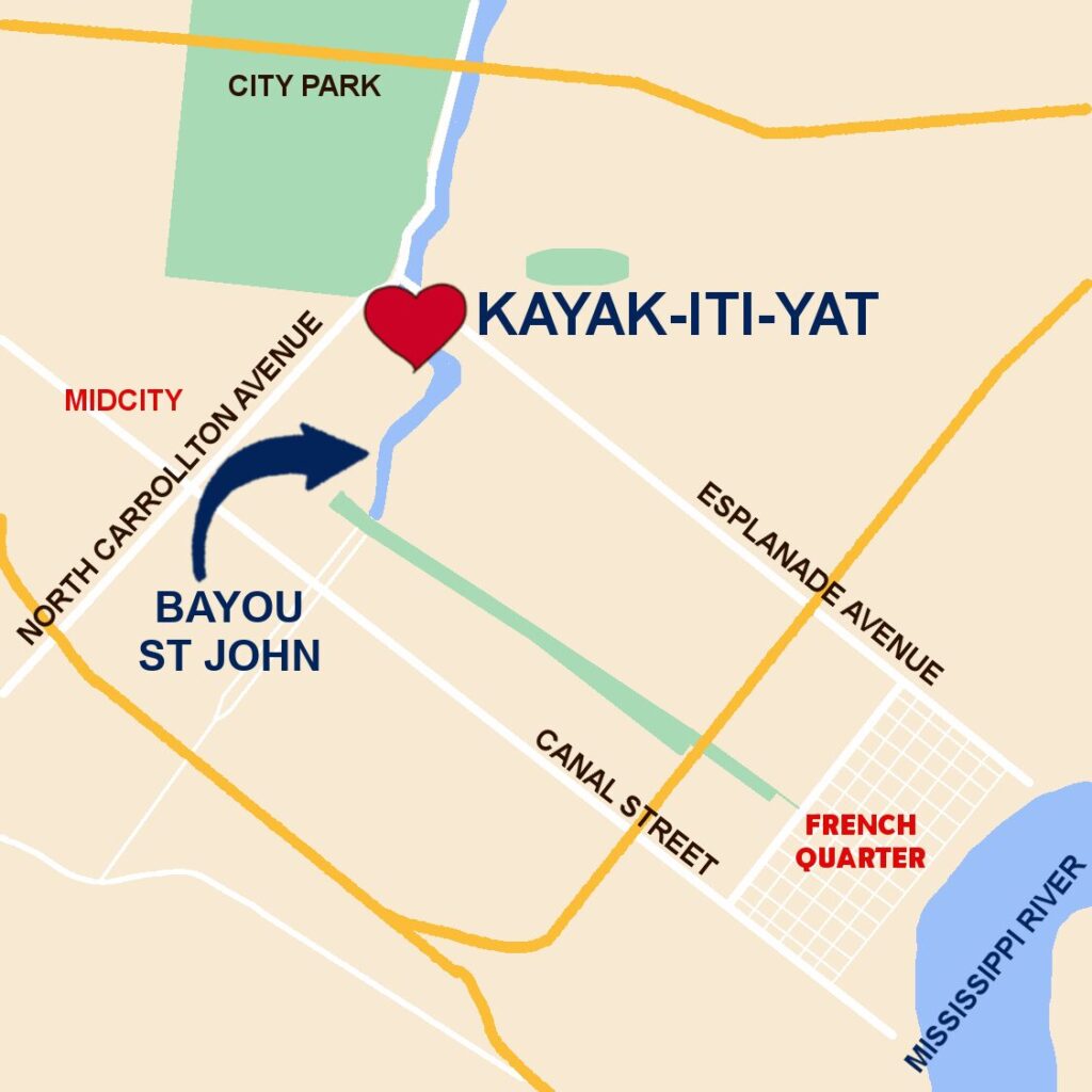
Farther north along Moss Street, near the Lelong Drive bridge, the bayou runs through a quieter residential stretch used by Kayak-Iti-Yat as a secondary staging point. The architecture along this segment shifts from French Colonial closer to the park into a mix of mid-century and contemporary homes, giving the paddle a different visual character than the more historic stretches farther south.
This section runs wide enough to be comfortable for groups paddling side by side, and the wildlife sightings here tend to skew toward herons and egrets working the shallows close to the bank. Wind exposure increases noticeably the closer a paddler gets to the I-610 overpass, so building in extra time on breezy days is worth planning for.
Access this stretch from Moss Street near the Lelong Drive bridge, with additional street parking available along the bayou-side roadway.