

Lake Pontchartrain forms the northern edge of New Orleans, and roughly 20 miles of path run along the shore where the levee holds the water back.
1. The Lakeshore Drive promenade
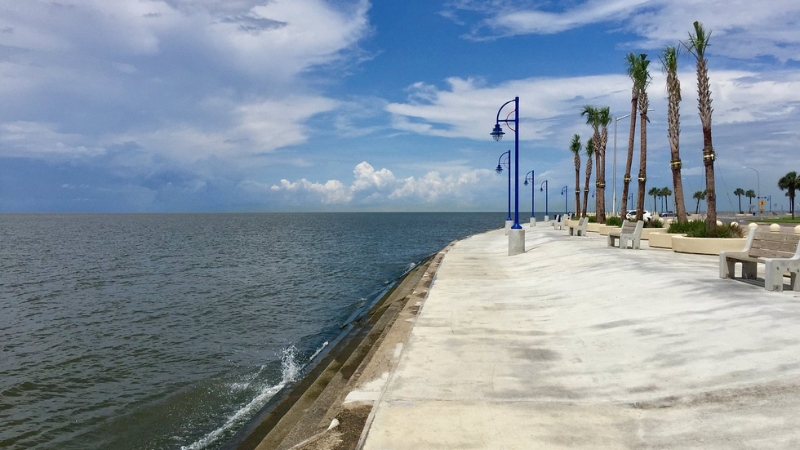
This is the stretch most people picture. A 5.6-mile wide promenade runs alongside Lakeshore Drive with open water on one side and the Lakeview neighborhood behind it. Cyclists use it for training and long rides, and the tourism board recommends planning around sunrise or sunset for the best light in the city.
Manage one expectation. This section runs next to an active road, so it delivers views rather than solitude. Traffic is light compared to any city street, and the promenade is wide enough that walkers, runners, and cyclists coexist without much friction.
Access is easy and parking runs along Lakeshore Drive. The eastern end near the Leon C. Simon bridge works well as a starting point, and Pontchartrain Park sits at the far eastern end with a two-mile loop on perimeter roads. A few short on-road sections appear at canal crossings and near the Milneburg Lighthouse.
2. The Lakefront Trail west toward Kenner
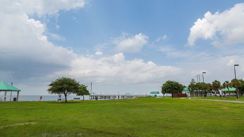
Anyone actually looking for quiet should head west from Breakwater Park at the 17th Street Canal. A paved multi-use path runs roughly 10 miles from there into Kenner, narrower than the promenade and considerably more remote since it sits away from any major road.
Open lake views hold the entire distance. Riders pass under the Lake Pontchartrain Causeway, cross Clearview Boulevard, and go by Laketown and the Treasure Chest Casino. One local cycling guide describes the ten miles past the Causeway as containing precious little else, which is exactly the appeal at sunset.
The western terminus sits at Duncan Canal in Kenner, with a trailhead at the southern tip of Grand Lake Boulevard. Following the canal south leads about 2.5 miles to a series of parish no trespassing signs, which is the turnaround point. A separate 12.3-mile multi-use trail also runs from Grand Lake Estates to Bucktown Harbor Marina with bridges over canals and underpasses beneath Causeway Boulevard.
3. Bucktown Marsh Boardwalk
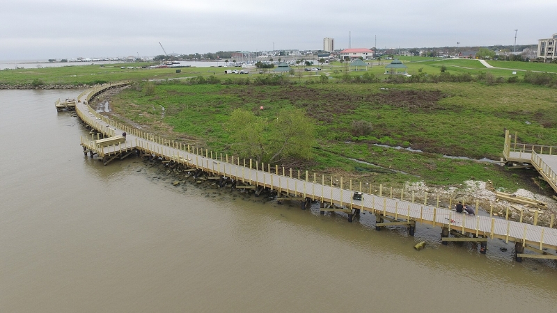
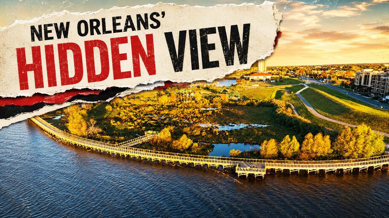
This one is a walk rather than a ride, and it is worth the stop. The boardwalk runs 1,000 feet through natural wetlands as part of Bucktown Harbor, with bird blinds along the route and interpretive signs covering plants, wildlife, fisheries, and the coast.
Benches are spaced along the deck specifically for watching the sun go down over the lake. The surrounding area includes the Bucktown living shoreline, a marsh restoration project using young spartina plantings and breakwater structures to slow erosion and give seedlings a chance. Those installations work as nursery habitat for fish and crustaceans while buffering the levee behind them.
John Lopez of the Lake Pontchartrain Basin Foundation framed the value of the site around proximity, pointing out that people can come out, see natural wetlands, and enjoy the lake and the birdlife close to home. The boardwalk pairs well with a ride on the trail that reaches Bucktown Harbor Marina.