

Southeast Louisiana’s forests grow in the low ground between bayous, which makes them shaded, flat, and closer to the city than most people expect.
1. Woodlands Conservancy, Belle Chasse
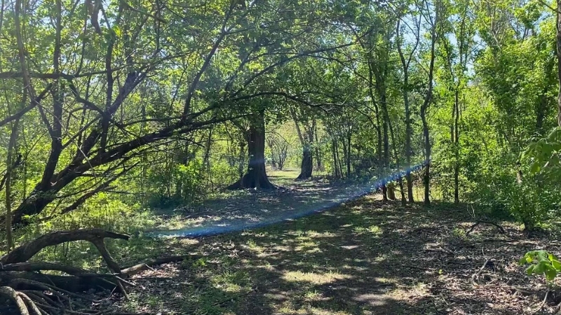
A nonprofit land trust organized in 2001 protects this stretch of bottomland hardwood across the river, roughly twenty minutes from downtown. The preserve holds 11 miles of trails, free and open to the public from dawn to dusk.
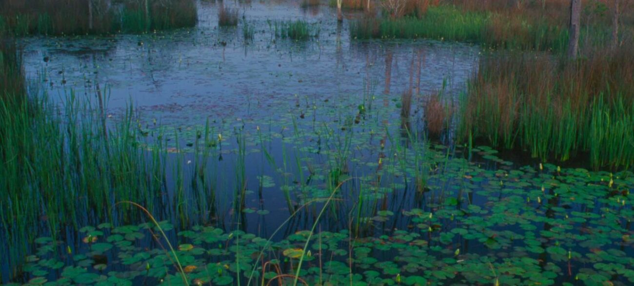
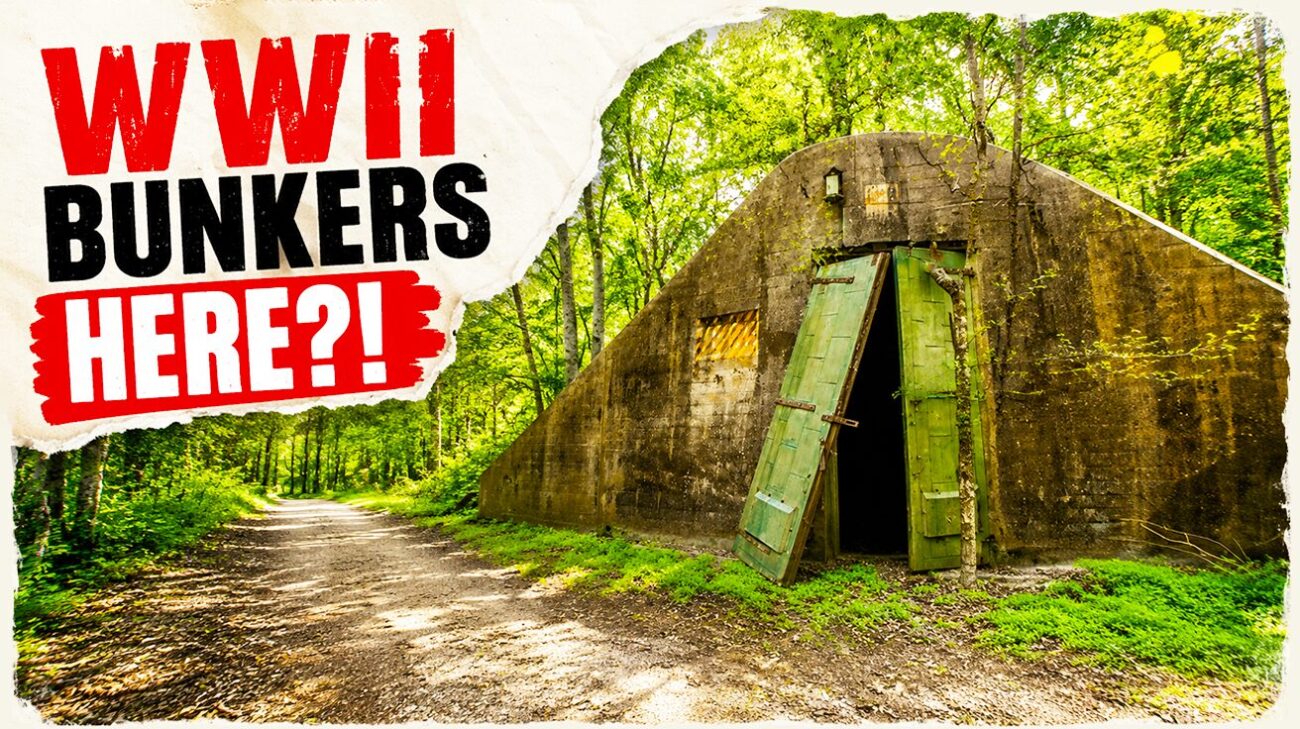
The draw is what sits in the woods. The Naval Ammunition Depot Trail runs 2.25 miles out to a grouping of ten World War II ammunition magazines, concrete bunkers surrounded by wetland. The main loop follows a spoil bank, dips south to reach the magazines, turns north along the Donner Canal levee, then follows an intersecting canal back toward the trailhead. Hiking and equestrian paths run parallel for much of the route.
Armadillos are the running joke in visitor reports, turning up in numbers people count. Deer, rabbits, and more than 100 species of migratory birds also use the forest, and the Conservancy’s bird observatory has tracked them monthly since 2013. Alligators live in the canals, so dogs stay leashed. Restrooms sit at the trailhead, and the gravel lot holds about twenty cars. The Conservancy lists its address as 1500 Woodland Hwy in Belle Chasse, reachable at (504) 433-4000.
2. Couturie Forest, City Park
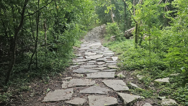
Sixty acres inside City Park, about fifteen minutes from downtown, holding eight distinct ecosystems. The trail winds along lagoons through live oak, bald cypress, and hackberry with elderberry and dwarf palmetto underneath.
Birders treat this as the best spot in the city. Two hundred thirty species have been recorded in this one woodlot, including 38 warbler species and 13 flycatchers, and City Park notes that a single outing commonly turns up 40 or more. Louisiana Birding says the rarity list here rivals the coastal forests of Grand Isle and Cameron Parish.
LaBorde Mountain sits partway through, a man-made pile of rip rap left from interstate construction and the highest point of elevation in New Orleans at 27 feet above sea level. Katrina flooding wrecked this forest, and volunteers cleared it and replanted up to 6,500 trees. The entrance is at 1009 Harrison Avenue. Multiple spur trails can confuse navigation, so watch the map.
3. Northlake Nature Center, Mandeville

Four hundred acres of preserved pine and hardwood along Bayou Castine, across Highway 190 from Fontainebleau State Park. More than eight miles of hiking and biking trails run through it, and every individual trail comes in under two miles, which lets walkers mix and match to fit the time they have.
A raised boardwalk starts just off the unpaved lot and is wheelchair accessible, though users will want someone along for occasional help. From its end, walkers can double back or connect into the trail system. The South Loop, the North Loop, and the Eagle Trail near the entrance form the main routes, and a swamp walk bypass leads to an overlook worth the detour. Most of it stays shaded except the return legs down a pipeline right-of-way. Scenic overlooks and a canoe launch onto Bayou Castine round it out.
Take a map from the entrance. Reviewers describe the trails as well cleared but poorly signed for getting back, and a long lost hike is easy here. The center sits at 23135 Highway 190, managed by adjacent Pelican Park, open dawn to dusk seven days a week. Call (985) 626-1238.
4. Boy Scout Road, Big Branch Marsh
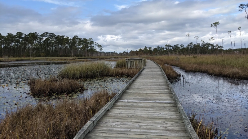
Across the lake in Lacombe, this route opens with a maintained boardwalk loop running about half a mile along a cypress bayou. Walkers can turn back or continue roughly 2.5 miles to an overlook of Bayou Lacombe, passing a lookout across Lake Pontchartrain along the way.
The trail crosses pine savanna and oak cheniers and offers the best chance in the region at the red-cockaded woodpecker in spring and summer. Nesting trees carry a painted white circle. Migration peaks late March into early May and again from late September into October. Dogs are welcome, and there are no facilities at the trailhead.